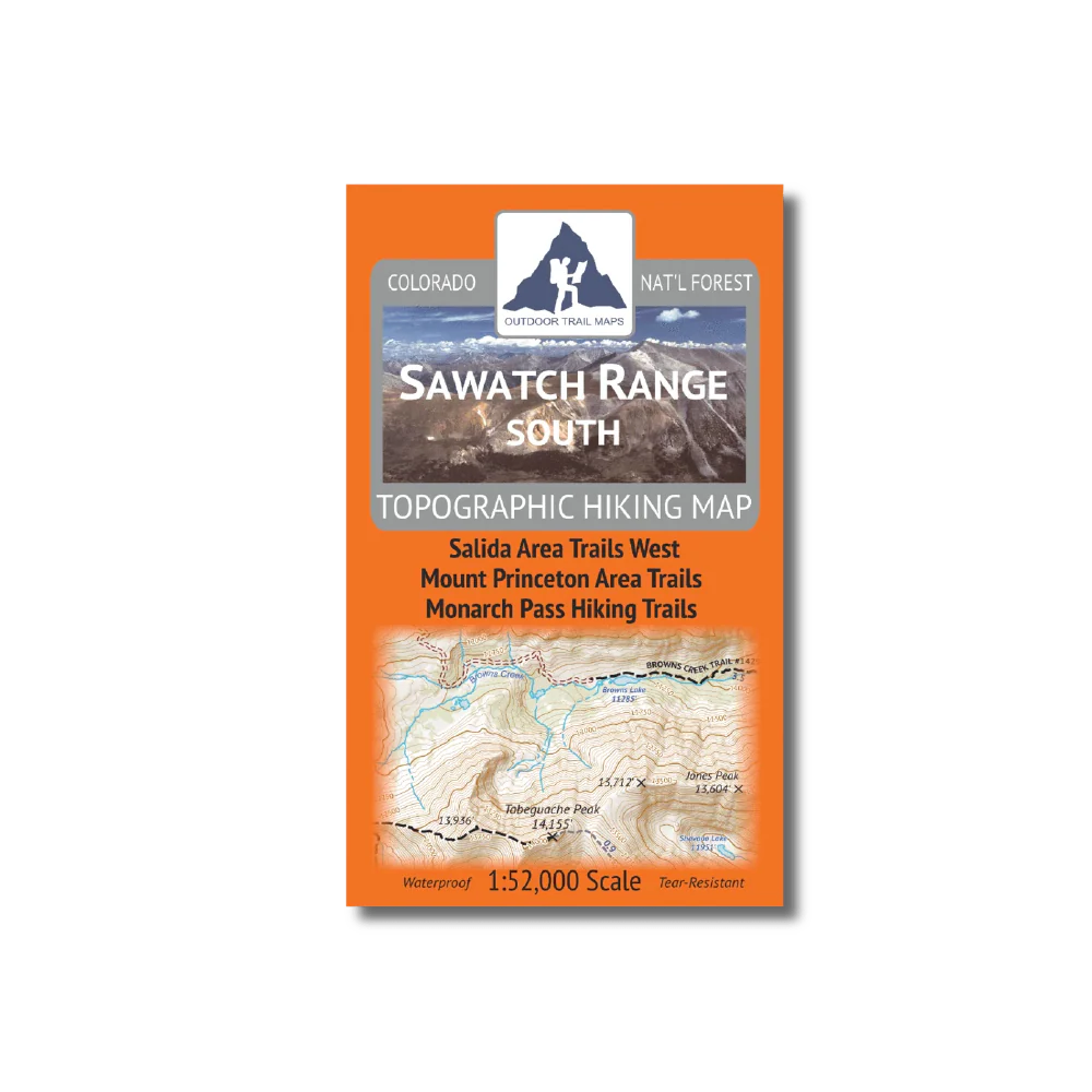
Outdoor Trail Maps Sawatch Range South Map
- Waterproof and tear-resistant – designed for on-trail use in harsh conditions
- 1:52,000 scale (1 in ≈ 0.82 mi)
- Smaller size (4”x7” folded, 27”x19” unfolded) and light weight – under 2 oz
- Trail segment mileages for all trails
- Lat-long coordinates for all trailheads and key trail junctions
- 50 ft contour lines
- Accurate, intuitive and easy-to-use
- UTM grid
This map covers the hiking areas in the Sawatch Range south of the Collegiate Peaks Wilderness to just south of the Monarch Pass, including St. Elmo, Mount Princeton area, the Indian Group 14ers (Antero, Shavano, Tabeguache) and more.
Product Information
Product Information
Shipping & Returns
Shipping & Returns
Outdoor Trail Maps Sawatch Range South Map
Outdoor Trail Maps Sawatch Range South Map
- Waterproof and tear-resistant – designed for on-trail use in harsh conditions
- 1:52,000 scale (1 in ≈ 0.82 mi)
- Smaller size (4”x7” folded, 27”x19” unfolded) and light weight – under 2 oz
- Trail segment mileages for all trails
- Lat-long coordinates for all trailheads and key trail junctions
- 50 ft contour lines
- Accurate, intuitive and easy-to-use
- UTM grid
This map covers the hiking areas in the Sawatch Range south of the Collegiate Peaks Wilderness to just south of the Monarch Pass, including St. Elmo, Mount Princeton area, the Indian Group 14ers (Antero, Shavano, Tabeguache) and more.
Original: $9.99
-65%$9.99
$3.50Product Information
Product Information
Shipping & Returns
Shipping & Returns
Description
- Waterproof and tear-resistant – designed for on-trail use in harsh conditions
- 1:52,000 scale (1 in ≈ 0.82 mi)
- Smaller size (4”x7” folded, 27”x19” unfolded) and light weight – under 2 oz
- Trail segment mileages for all trails
- Lat-long coordinates for all trailheads and key trail junctions
- 50 ft contour lines
- Accurate, intuitive and easy-to-use
- UTM grid
This map covers the hiking areas in the Sawatch Range south of the Collegiate Peaks Wilderness to just south of the Monarch Pass, including St. Elmo, Mount Princeton area, the Indian Group 14ers (Antero, Shavano, Tabeguache) and more.