✨ New Arrivals Just Dropped!Explore

Outdoor Trail Maps La Garita Wilderness Map
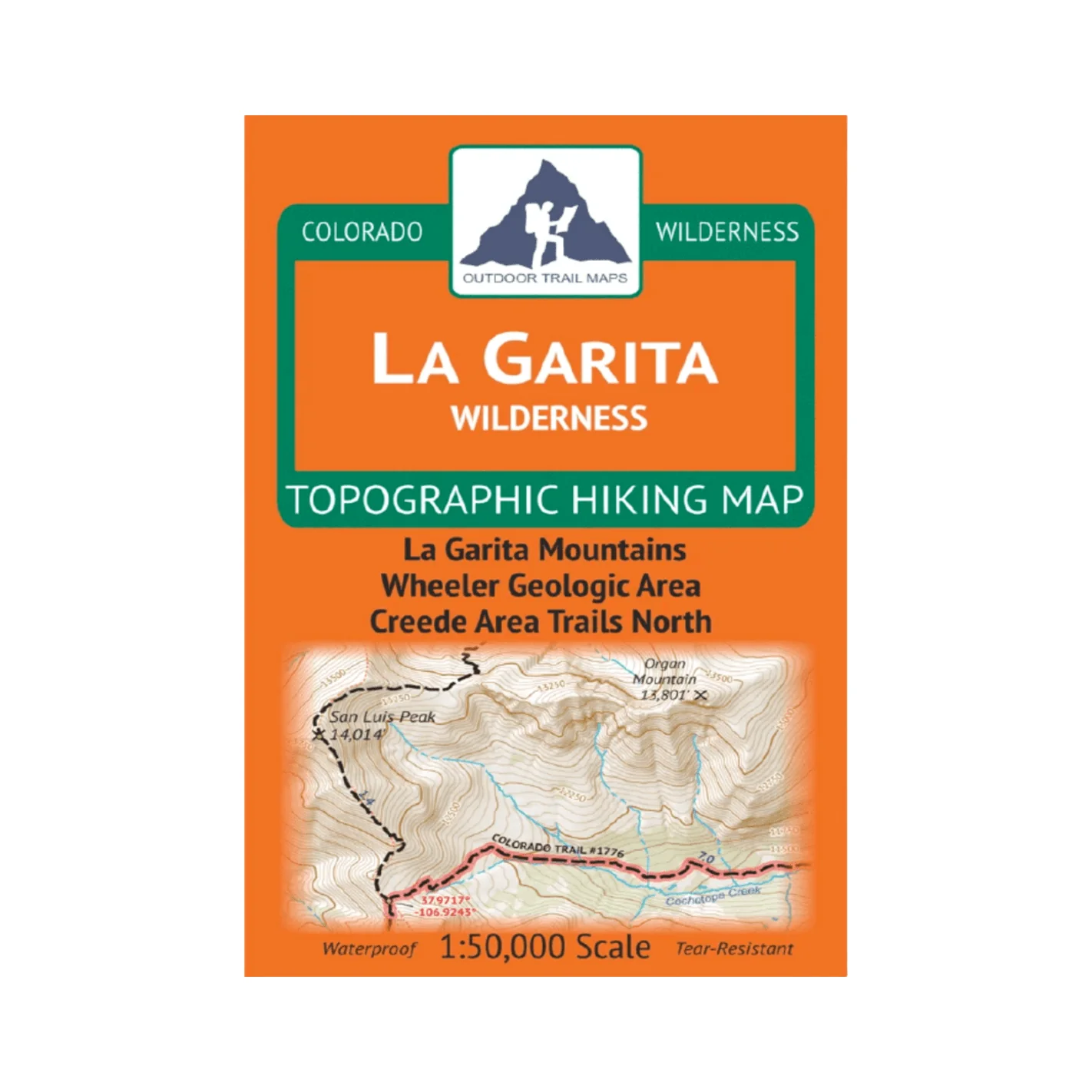
- Waterproof and tear-resistant – designed for on-trail use in harsh conditions
- 1:50,000 scale (1 in ≈ 0.8 mi)
- Smaller size (4”x7” folded, 27”x19” unfolded) and light weight – under 2 oz
- Trail segment mileages for all trails
- Lat-long coordinates for all trailheads and key trail junctions
- 50 ft contour lines
- Accurate, intuitive and easy-to-use
This wilderness area spans 130,000 acres across the La Garita Mountains in southern Colorado. Coverage includes the Wheeler Geologic Area, 14er San Luis Peak, Creede area trails, Wason Park and more.
Product Information
Product Information
Shipping & Returns
Shipping & Returns
Outdoor Trail Maps La Garita Wilderness Map
Outdoor Trail Maps La Garita Wilderness Map
- Waterproof and tear-resistant – designed for on-trail use in harsh conditions
- 1:50,000 scale (1 in ≈ 0.8 mi)
- Smaller size (4”x7” folded, 27”x19” unfolded) and light weight – under 2 oz
- Trail segment mileages for all trails
- Lat-long coordinates for all trailheads and key trail junctions
- 50 ft contour lines
- Accurate, intuitive and easy-to-use
This wilderness area spans 130,000 acres across the La Garita Mountains in southern Colorado. Coverage includes the Wheeler Geologic Area, 14er San Luis Peak, Creede area trails, Wason Park and more.
$8.99
Outdoor Trail Maps La Garita Wilderness Map—
$8.99
Product Information
Product Information
Shipping & Returns
Shipping & Returns
Description
- Waterproof and tear-resistant – designed for on-trail use in harsh conditions
- 1:50,000 scale (1 in ≈ 0.8 mi)
- Smaller size (4”x7” folded, 27”x19” unfolded) and light weight – under 2 oz
- Trail segment mileages for all trails
- Lat-long coordinates for all trailheads and key trail junctions
- 50 ft contour lines
- Accurate, intuitive and easy-to-use
This wilderness area spans 130,000 acres across the La Garita Mountains in southern Colorado. Coverage includes the Wheeler Geologic Area, 14er San Luis Peak, Creede area trails, Wason Park and more.