✨ New Arrivals Just Dropped!Explore

Outdoor Trail Maps Holy Cross Wilderness Map
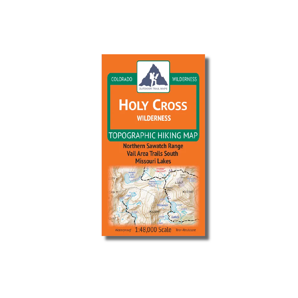
- Waterproof and tear-resistant – designed for on-trail use in harsh conditions
- 1:48,000 scale (1 in ≈ 0.75 mi)
- Smaller size (4”x7” folded, 27”x19” unfolded) and light weight – under 2 oz
- Trail segment mileages for all trails
- Lat-long coordinates for all trailheads and key trail junctions
- 50 ft contour lines
- Accurate, intuitive and easy-to-use
The Holy Cross Wilderness spans 122,000 acres of the northern Sawatch Range in central Colorado south of Vail and west of Leadville.
Product Information
Product Information
Shipping & Returns
Shipping & Returns
Outdoor Trail Maps Holy Cross Wilderness Map
Outdoor Trail Maps Holy Cross Wilderness Map
- Waterproof and tear-resistant – designed for on-trail use in harsh conditions
- 1:48,000 scale (1 in ≈ 0.75 mi)
- Smaller size (4”x7” folded, 27”x19” unfolded) and light weight – under 2 oz
- Trail segment mileages for all trails
- Lat-long coordinates for all trailheads and key trail junctions
- 50 ft contour lines
- Accurate, intuitive and easy-to-use
The Holy Cross Wilderness spans 122,000 acres of the northern Sawatch Range in central Colorado south of Vail and west of Leadville.
$8.99
Outdoor Trail Maps Holy Cross Wilderness Map—
$8.99
Product Information
Product Information
Shipping & Returns
Shipping & Returns
Description
- Waterproof and tear-resistant – designed for on-trail use in harsh conditions
- 1:48,000 scale (1 in ≈ 0.75 mi)
- Smaller size (4”x7” folded, 27”x19” unfolded) and light weight – under 2 oz
- Trail segment mileages for all trails
- Lat-long coordinates for all trailheads and key trail junctions
- 50 ft contour lines
- Accurate, intuitive and easy-to-use
The Holy Cross Wilderness spans 122,000 acres of the northern Sawatch Range in central Colorado south of Vail and west of Leadville.